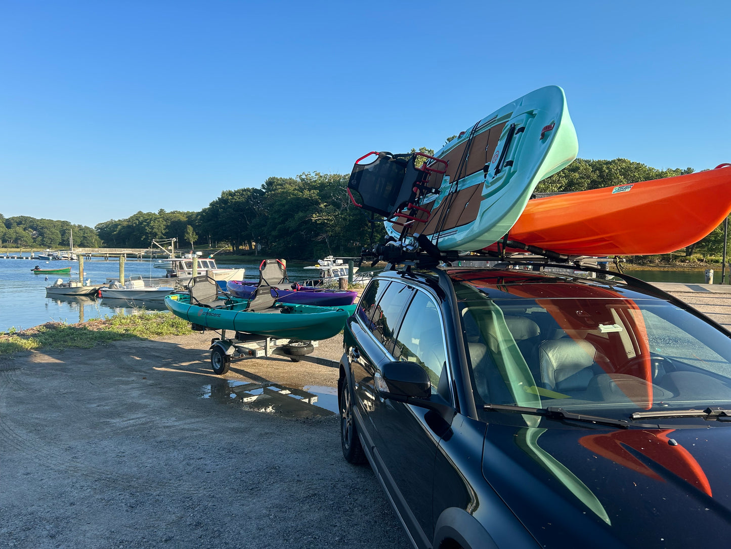
You can add this service location using the radio button within your Cart. This low priced fee covers all equipment within your reservation, both to and from the location!
---
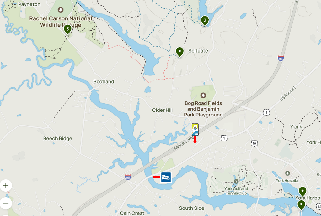
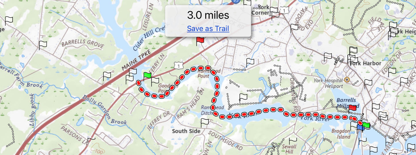
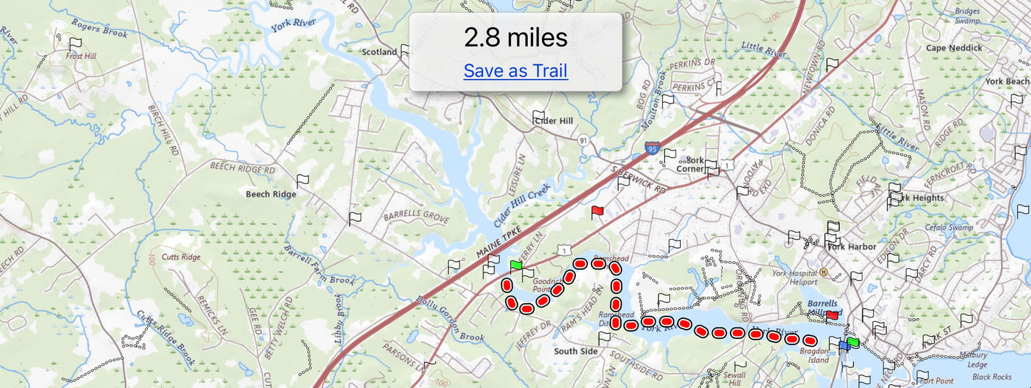
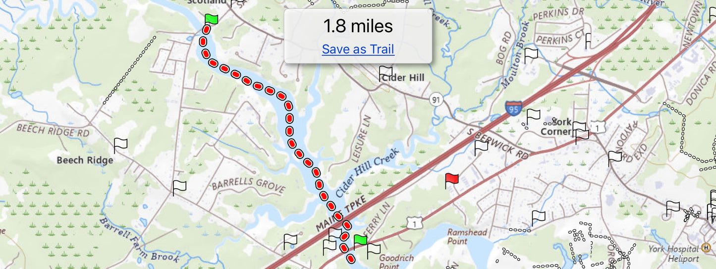
This Route 1 landing location is a great spot for accessing either the upper or lower reaches of the river. This is the spot to depart from and return to if you want to find shade along your paddling route (lots of overhanging hemlocks and pines). It also has many coves you can relax within due to the eddies that are generated which create still spots even during peak tide transitions. This launch site gives you closer access to the golf course and other areas north of Sewall Bridge; the water is especially bluish green within this section of river due to the light reflections off of the underlying oyster beds, exposed bedrock, and phytoplankton.
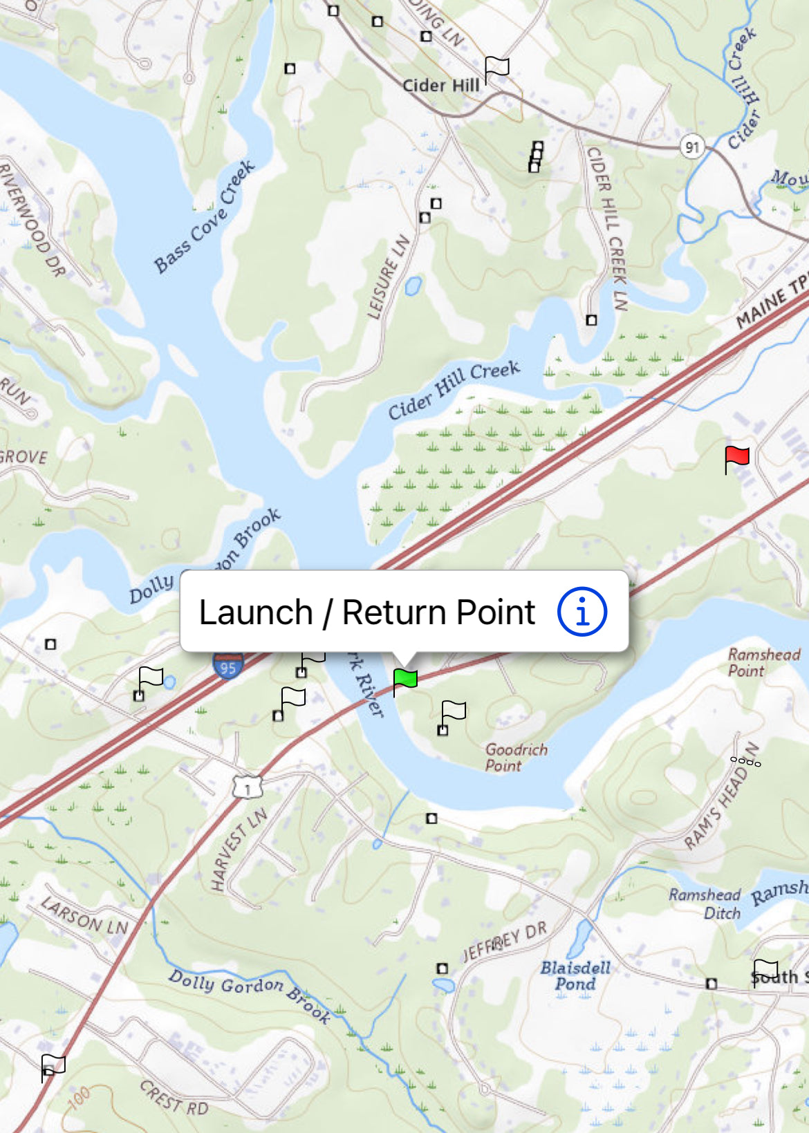
NES will Deliver to and from the York River Boat Ramp on Route 1 at the York River in York, ME at the times scheduled, unless an alternative time(s) is agreed upon due to availability constraints.
Address: Near 199 Route 1, York, ME 03909 Coordinates: 48R5+MX York, Maine
Parking is free and plenty. Located about 1 mile from NES.
NOTE: This launch area is trickier than the other two on the York River due to the rocks, mud, and swifter between high and low tide changes. Rocks are slippery and can pose tripping hazards as well. Consider neoprene booties which we can rent to you for a nominal fee.
Please research the tide chart for the day(s) you will be paddling. Getting to and from this boat ramp is challenging when the tide is low. Generally paddling is manageable 3 hours before and after the high tide mark, here. The mud poses a danger to accessing the shoreline at this location due to how soft the mud is and how far the waterline is during low tide. Tide charts can be found here: https://www.usharbors.com/harbor/maine/york-harbor-me/tides/#monthly-tide-chart